LANZAROTE
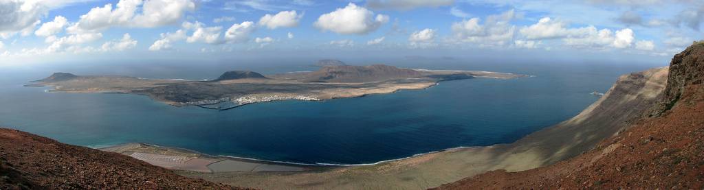
Lanzarote is the most northerly of the Canary Islands. It has a surface area of 796 sq. kms. and over 80.000 inhabitants.
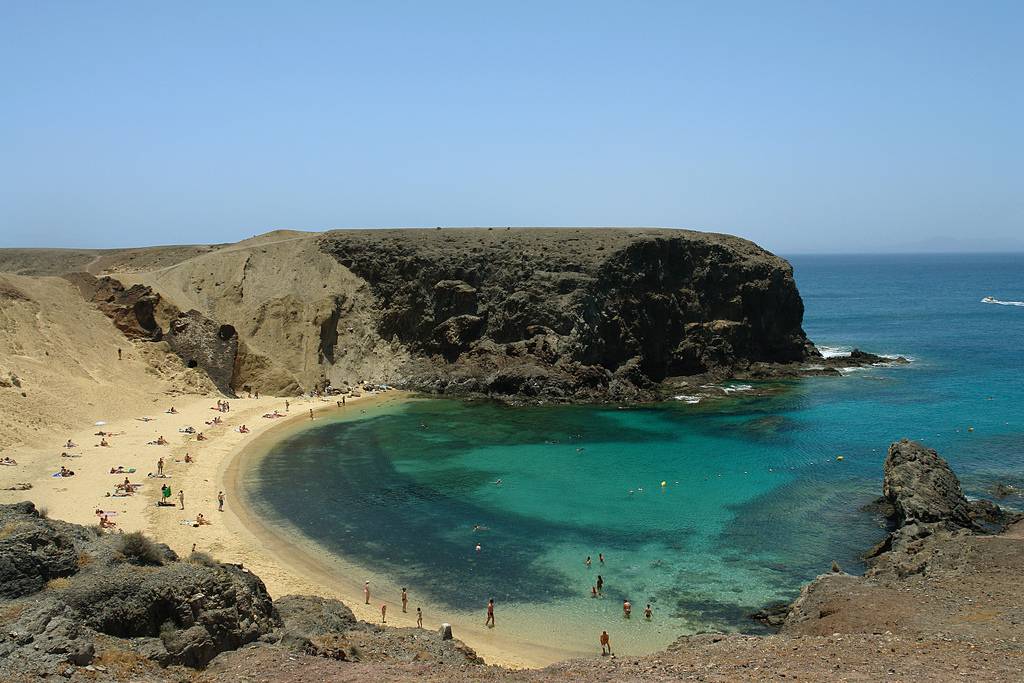
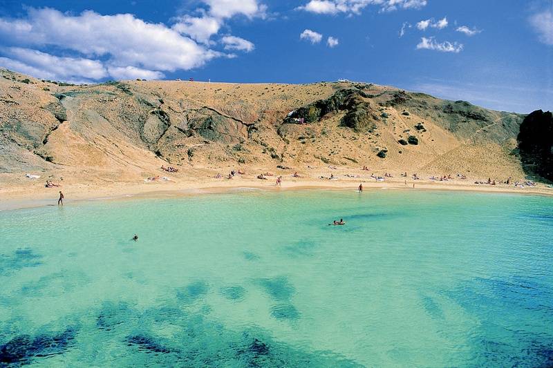
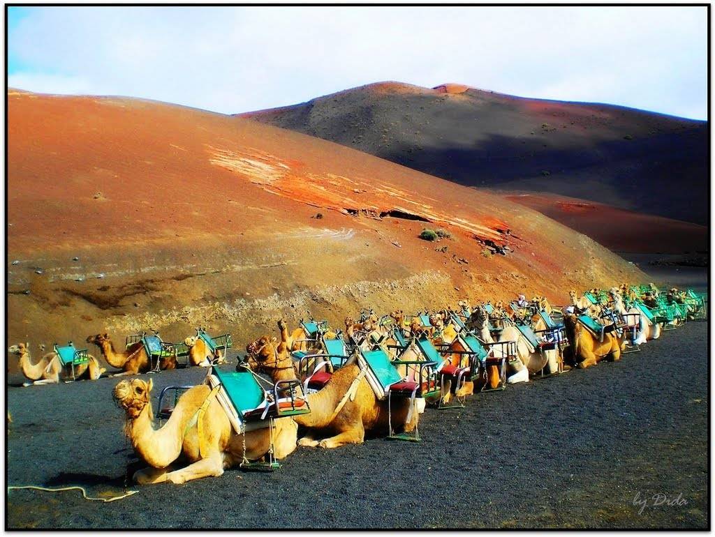
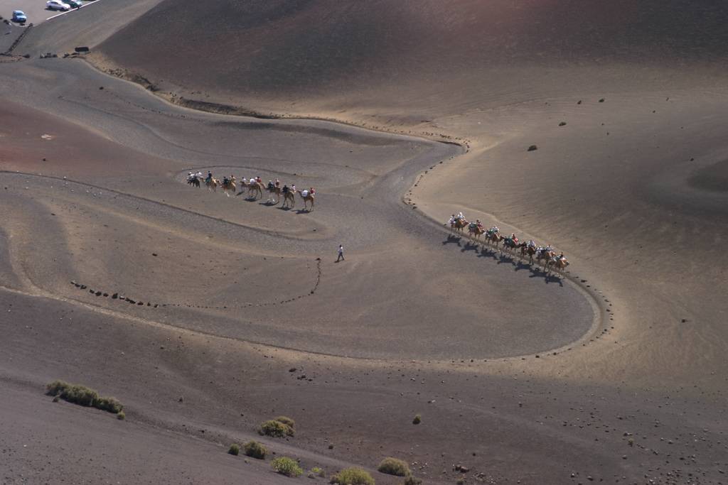
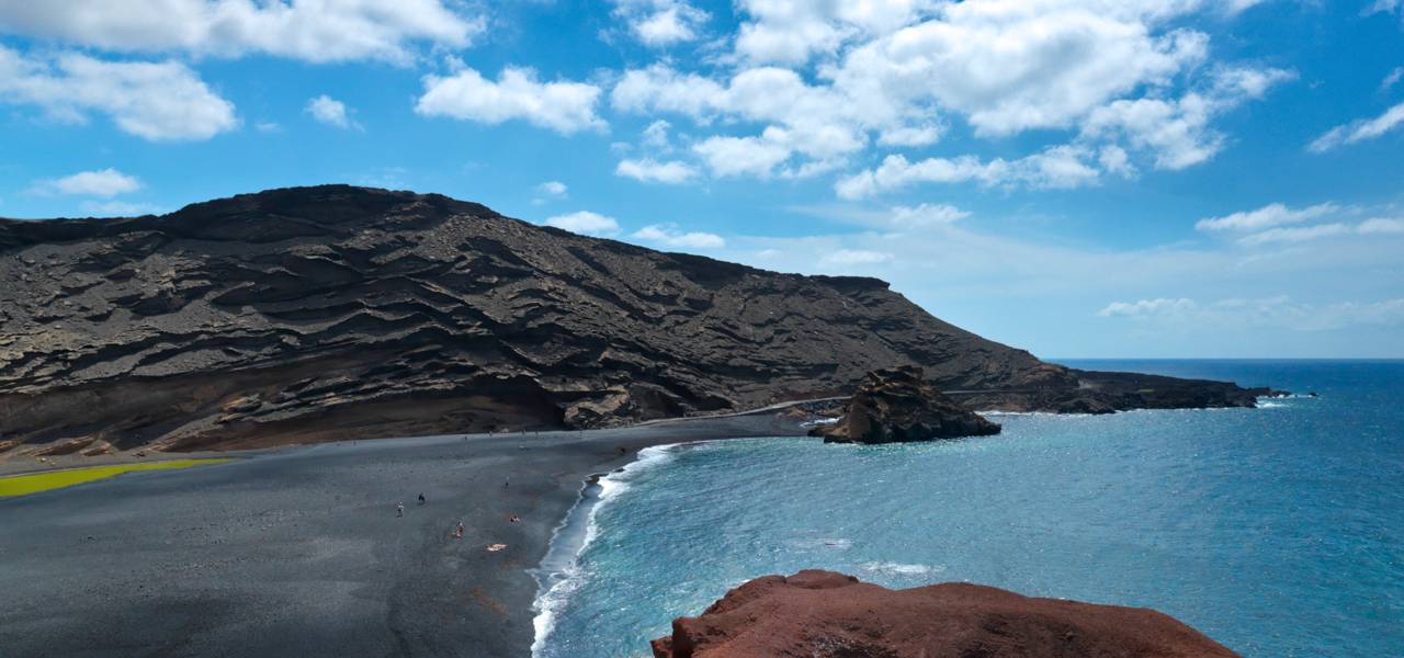
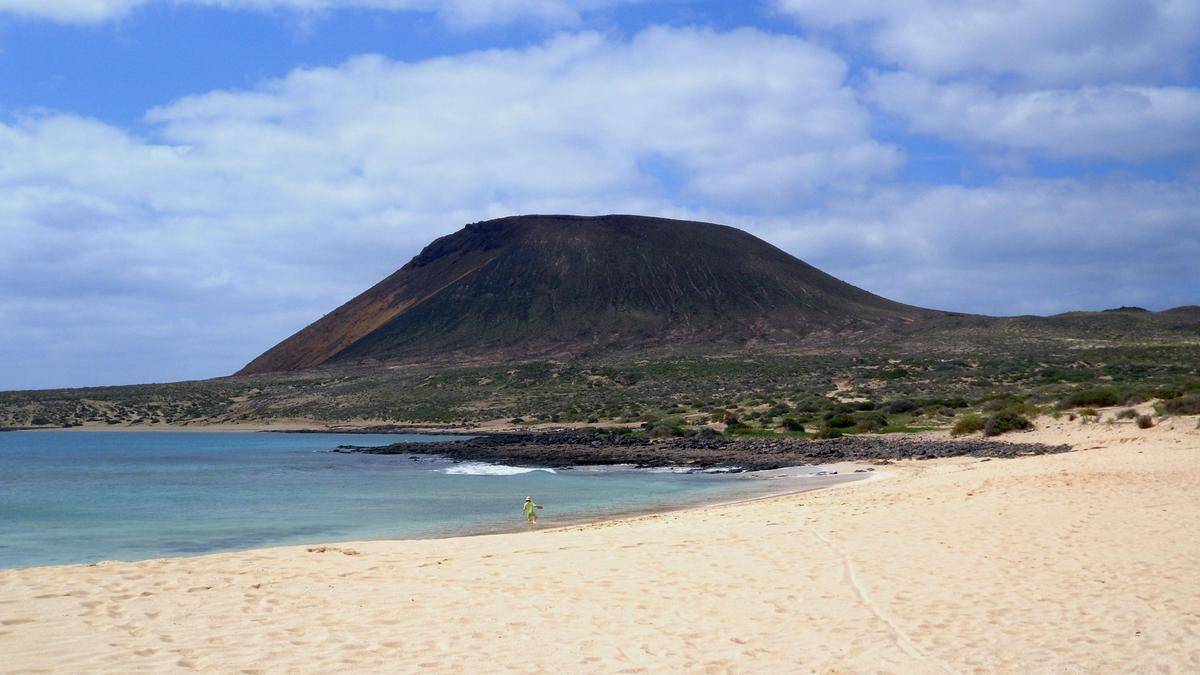
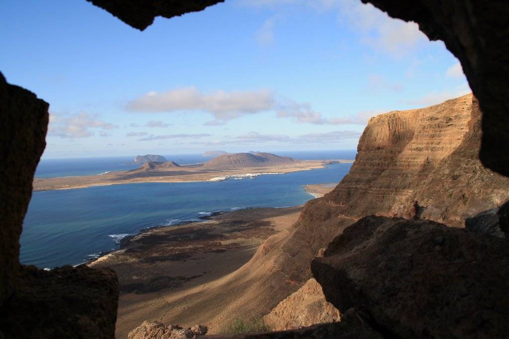
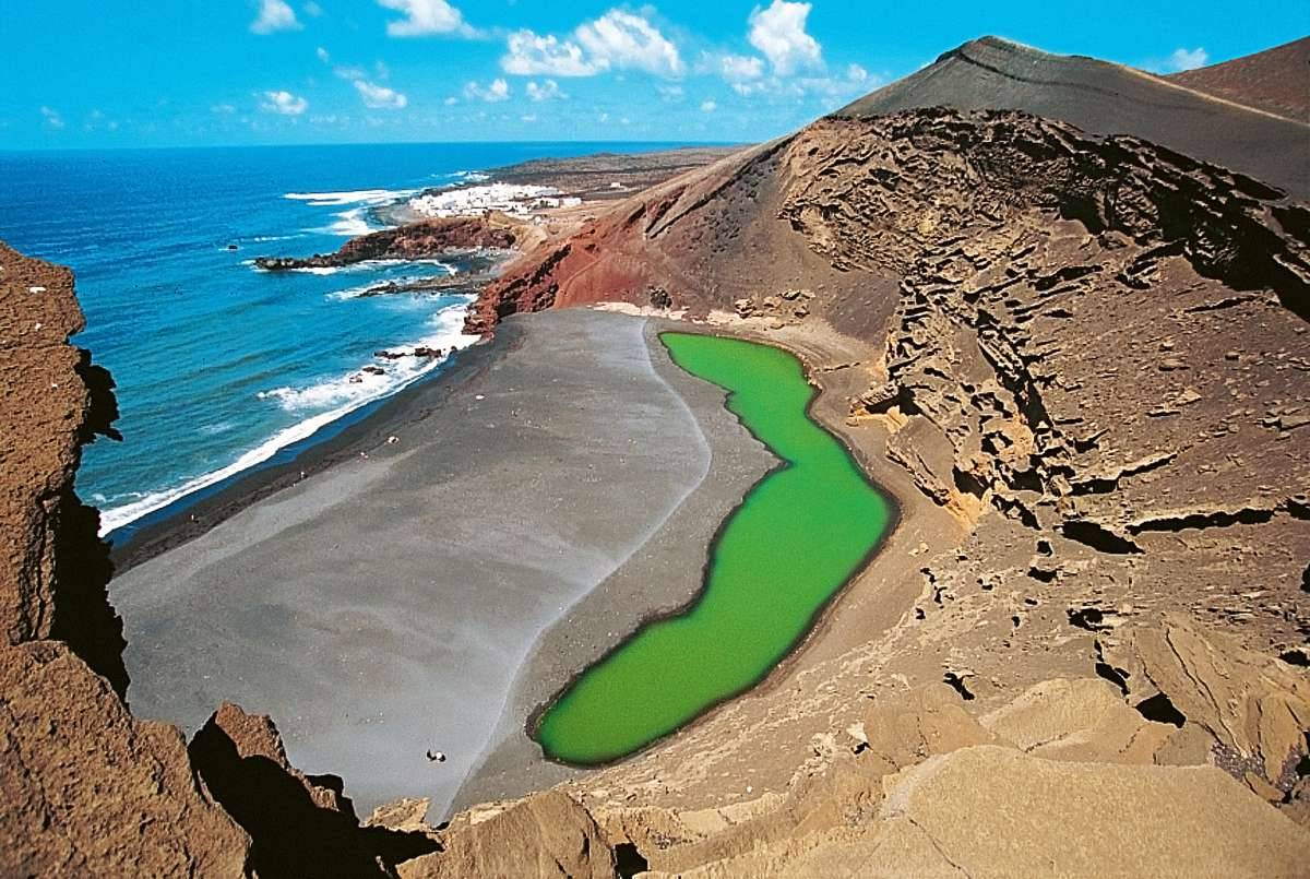
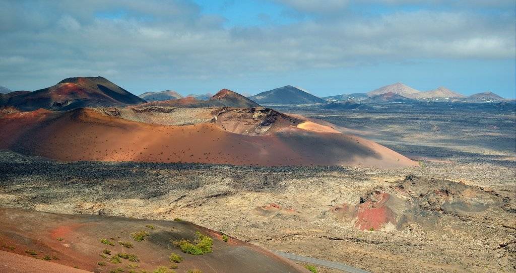
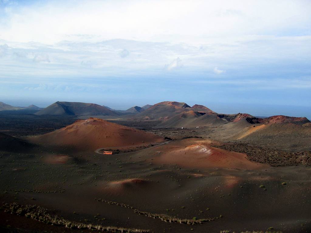
Often known as the “Volcano Island”, the countless volcanic cones and scorched valleys are the outstanding features of a mysterious, lunar landscape whose very contemplation is a unique experience.
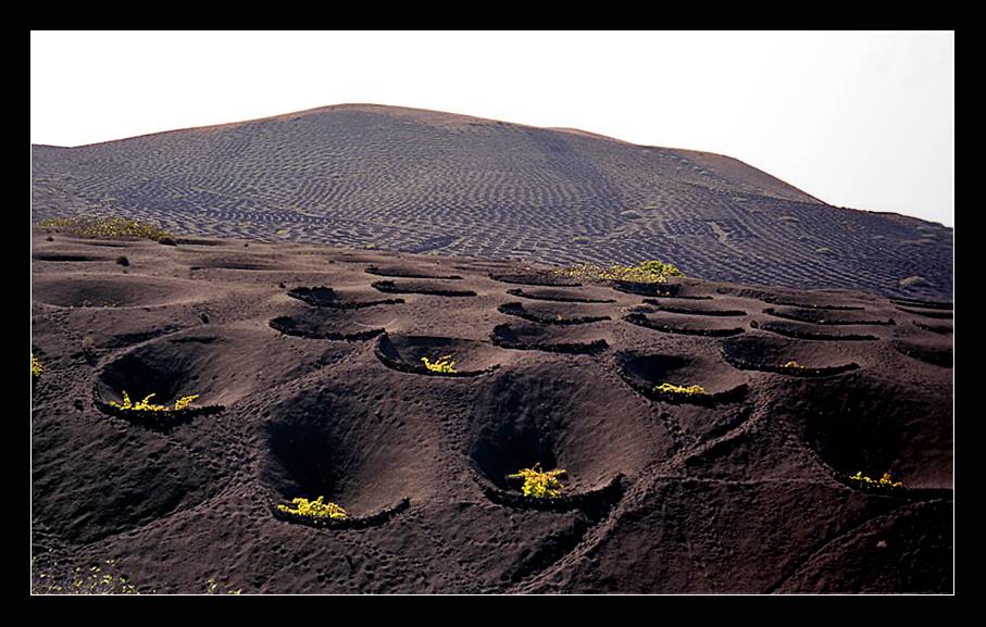
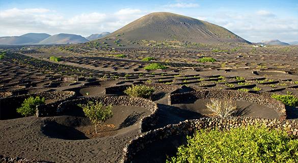
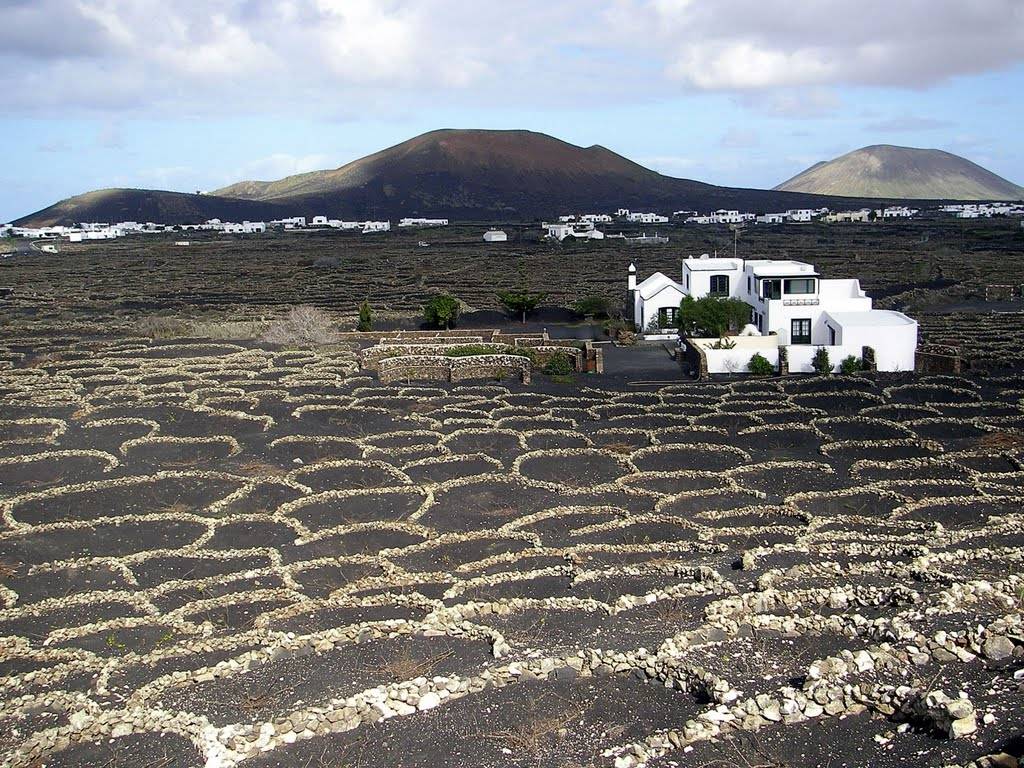
During the period 1730-36 its wetern central region underwent the longest eruption in recorded history. The earth split open and threw up new formations in the Macizo del Fuego (“Fire Massif”, also known as Timanfaya). Within a mere 8 sq. kms. 25 craters opened up. Their activity changed the face of the island, leaving whole seas of lava which the locals call “badlands”, and which you can see today, exactly the same as when the streams of lava solidified and cooled. The volcanic ash covered fertile fields, giving rise to the astounding landscape of La Geria.
Lanzarote’s climate contributes largely to its singular landscape. Because of its low rainfall – sometimes years go by without a drop of rain – Lanzarote can virtually be considered a desert: the moisture-laden trade winds scarcely have any influence on an island with so few mountains.
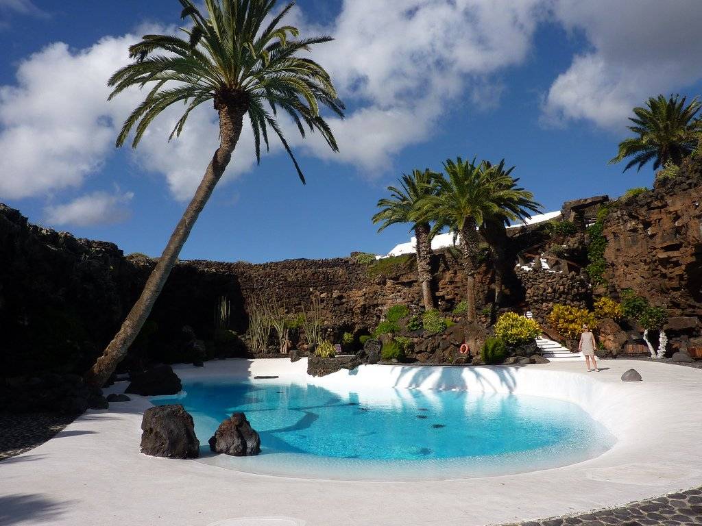
Lanzarote astounds the visitor with its volcanic landscape, lovely beaches and parched earth; no less surprising is the effort and determination shown by the islanders in their struggle to survive in such hostile surroundings. They have turned farming into a work of art whose most typical example can be seen in the fields around La Geria, where green vines sprout from black lava.
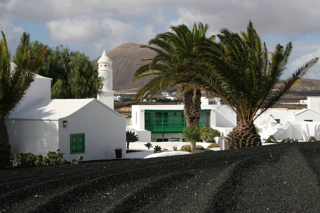
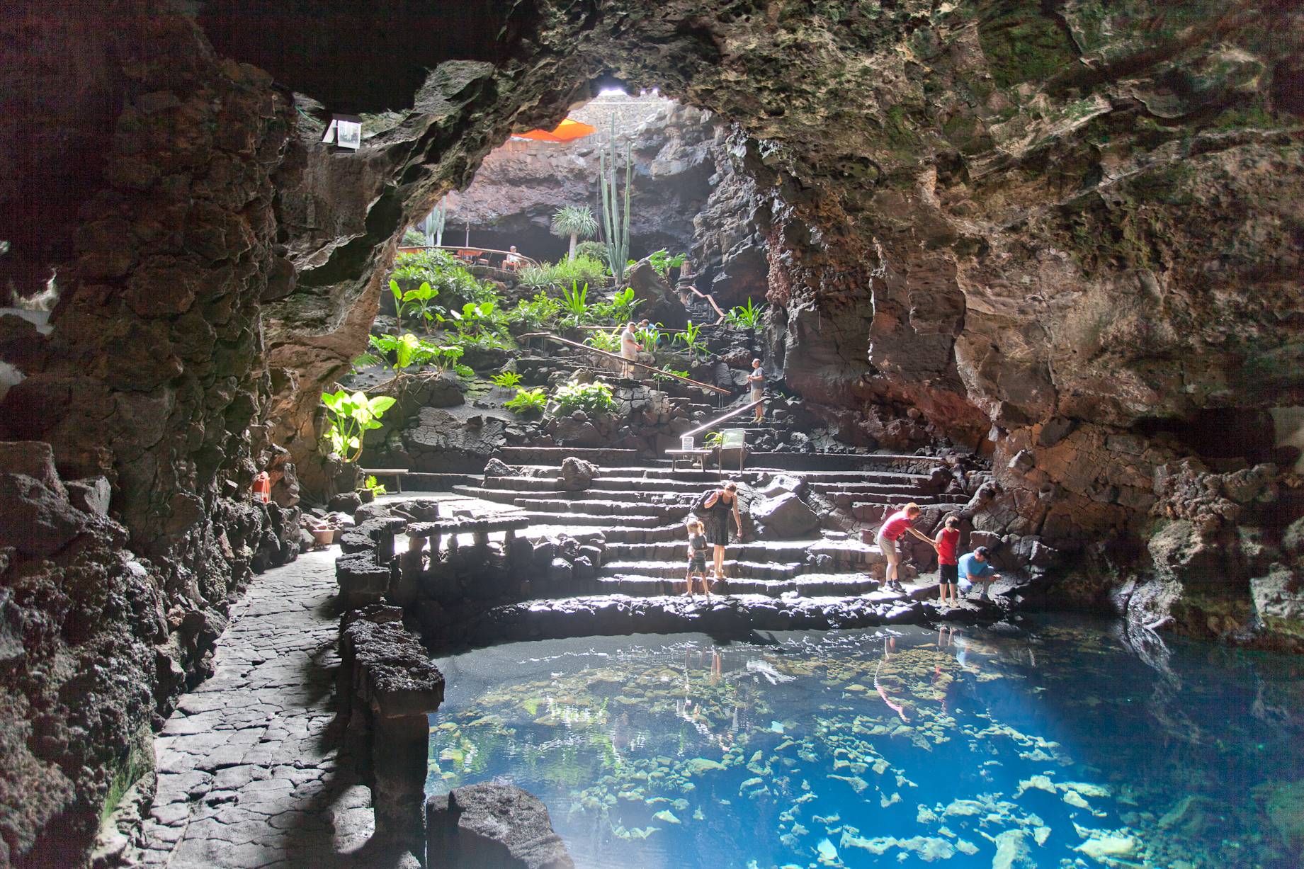
Whilst scrupulously respecting its scenic, historic and cultural heritage, Lanzarote is becoming an ever more attractive goal for tourists.